
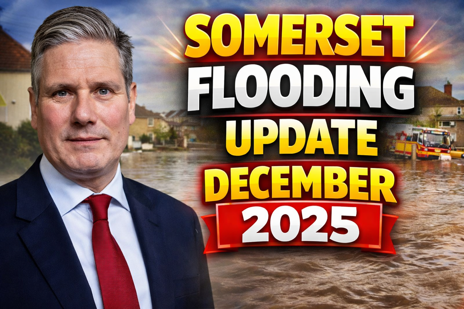
Somerset faces heightened flood risks in late December 2025 following persistent heavy rainfall across southwest England, with the Met Office issuing yellow rain warnings for the region through December 23. The Environment Agency maintains multiple flood alerts for key rivers like the Parrett, Yeo, and Tone, while Somerset Council reports ongoing road closures due to standing water and overtopping. No major incidents declared as of December 23, but residents urged to monitor levels amid saturated ground conditions.

Current Met Office Weather Warnings
The Met Office extended a yellow rain warning for Somerset until early December 24, forecasting 20-40mm accumulation, with hills potentially seeing 80mm. Winds gusting 40-50mph exacerbate runoff, following November’s above-average rainfall that left soils waterlogged. Taunton and Wells forecasts predict cloudy conditions with showers, temperatures 6-9°C, and poor visibility in low-lying areas.
No amber or red warnings active on December 23, but forecasters warn of «danger to life» risks from fast-flowing water. Updates emphasize avoiding travel unless essential, with apps providing real-time alerts. Longer-term, dry spells expected post-Christmas, aiding drainage, though groundwater remains elevated.
Active Flood Warnings and Alerts
The Environment Agency lists several alerts as of December 23, focusing on moorland and river catchments. Flood warnings (expected flooding) cover River Parrett from Perrott to Thorney, impacting low-lying roads like A356 at Chiselborough and B3165 near Ilford Bridges. River Yeo areas around Sherborne and Yeovil face overnight risks to South Street and Ludborne Road.
Yellow alerts (possible flooding) affect River Tone catchment from Clatworthy to Currymoor, West Somerset Streams (Washford, Hor), and Bridgwater rhynes. Somerset Levels and Moors see managed Parrett relief channel operations and pumping stations active. No property flooding reported today, but rural properties and farms vulnerable.
Flood risk very low for next 5 days per GOV.UK, but local hotspots persist.
Major Road Closures Across Somerset
Somerset Highways reports over 20 closures on December 23 due to flooding, landslips, and debris. A372 (Langport-Somerton) remains impassable near High Ham, alongside A359 (Mudford-Chilton Cantelo). Rural lanes like Honeymead Lane (Baltonsborough), Camel Street (Marston Magna), and Lopen Road (Hinton St George) shut, isolating villages.
Taunton sees Silk Mills, Blackdown Hill (fallen tree), and A3065 Bishop’s Hull affected. Yeovil impacts Church Street and Bridgehampton Road; Frome closes Wallbridge and Holes Lane. Drivers face 30-60 minute diversions, with One.Network app essential for live updates. Avoid fording water—30cm depth can float cars.
Council teams clear blockages, but night closures likely extend.
Impact on Communities and Infrastructure
Low-lying villages like Muchelney, Thorney, and Gaw vulnerable, with sandbags distributed via parish councils. No evacuations December 23, unlike January’s Storm Herminia displacements at Primrose Hill caravans. Power stable, but schools in Chard, Yeovil delayed openings earlier week.
Farms report crop losses; tourism dips with Glastonbury paths submerged. Bridgwater businesses deploy barriers, recalling 2024’s «worst ever» floods. Emergency services handled 50+ calls since December 20, prioritizing welfare checks.
Somerset Rivers Authority coordinates with EA, pumping at Westhay and Tadham Moors. Major incident stood down from prior events, but readiness high.
Emergency Response and Preparation Advice
Somerset Council activates flood wardens in hotspots, urging property checks and plans activation. Dial 999 for deep water rescues; report blockages to 0300 123 2224. Environment Agency monitors 24/7, operating sluices at Muchelney and Highbridge.
Residents advised: elevate valuables, fit airbricks, avoid ditches. Farmers move livestock; drivers turn around, don’t drive through. Apps like Floodline Warnings deliver tailored texts. Post-flood, contact insurers promptly, disinfect properties.
Council’s response praised after January clear-ups, with £24.7m bus funding aiding diversions. Community hubs at Glastonbury Abbey and Taunton churches offer warmth/shelter.
Historical Context and Climate Trends
December 2025 echoes 2023-24’s Levels crisis, when major incidents lasted weeks amid record rains. Somerset’s peat moors slow-drain, amplifying events; climate change boosts intensity 10-20%. November 2025’s 150mm (vs 100mm average) primed saturation.
Lessons from Storm Babet (2023) inform dredging, raised defenses at Parrett Works. Net-zero plans target resilient infrastructure by 2030, including Yeo barriers.
Forecast and Recovery Outlook
Met Office predicts easing post-24th, with frost aiding soil absorption. River levels peak December 24-25, receding by 27th if dry holds. Closures lift progressively; full recovery 3-5 days for minor roads.
Monitor GOV.UK Flood Map, Somerset Live updates. Council invests in early warning tech, reducing response times 40%. Somerset resilience shines—communities rally, infrastructure holds. Stay safe, plan ahead.

Nikhita Jose is a journalist and content writer covering local news, community affairs, and public interest stories in Somerset. She focuses on clear, accurate reporting and brings a thoughtful, reader-first approach to regional journalism.